
5 days (Fethiye to Karadere beach)
Hiked on May 2026
This hike was planned a little differently from my usual trips, as I was doing it with my 61-year-old mum. She’s definitely an adventurous person, although not exactly a hiker. Still, more often than not, she’s the only person who can make sense of my typically half-planned itineraries, and is a pretty good hiking itinerary planner herself. So this time, for her birthday, her wish was to join me on one.
At first, we considered crossing Madeira, but with parts of the trail still closed and some sections proving fairly challenging, we decided on a gentler itinerary than my usual one along the Lycian Way. We hoped to enjoy warm weather, the seaside, and the famous hospitality of the Turkish people.
The Lycian Way stages
| Stages | Route | Km | Elevation gain | Accommodation |
|---|---|---|---|---|
| Day 1 | Fethiye – Ölüdeniz | 21 km | 886 m | CC’s Butik Hotel |
| Day 2 | Ölüdeniz- Kabak | 20 km | 844 m | Kabak Avalon Bungalows |
| Day 3 | Kabak- Alinca village | 10 km | 808 m | Likya restaurant & camping |
| Day 4 | Alinca village- Bel | 14 km | 621 m | Raziye pansiyon & ramazan market |
| Day 5 | Bel- Karadere beach | 11 km | 233 m but mostly all day descending | Sleeping at Likya Garden Life |
We landed at Dalaman Airport at 3 a.m. and had booked a hotel nearby for the night. Being used to the urban jungle and fundamentally distrustful of taxi services, I ordered an Uber.
As we stepped outside the airport, we were greeted by a long line of taxis and their drivers waiting for passengers. I tried to wave them away, explaining that I had already ordered an Uber, but they seemed completely unfazed — until one of the drivers, clearly frustrated by my ignorance, shouted: “I am an Uber!”
It turned out that the Uber app was simply connected to the airport taxi service, acting only as a booking platform for the taxis already waiting outside. It was our first lesson to better trust the locals and a few minutes later, we arrived at our accommodation.
Fethiye – Ölüdeniz
21 km (including around 4 km walking from the centre of Fethiye to the official start of the trail)
Looking back, I would not recommend spending the first night near the airport. It would make far more sense to take a taxi straight to Fethiye, as the following morning we had to arrange another ride into town anyway. There were no buses available from our hotel, and we were eager to start the journey as early as possible.
Since we hadn’t set an exact drop-off point in Fethiye, we ended up walking for around 40 minutes to reach the town centre. Much of the route followed the seafront, where we eventually stopped for a wonderful Turkish breakfast. Served with countless small dishes, it was the kind of meal that easily keeps you going until dinner.
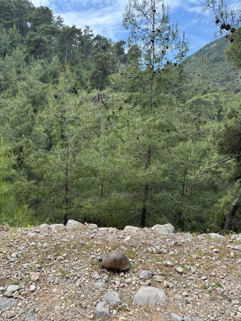
Leaving Fethiye behind, the impressive rock tombs carved into the cliffs quickly come into view. Unfortunately, with limited time, we decided not to visit them. Soon after, the trail climbed steeply through forest paths and, only a few kilometres in, we spotted our first wild turtle on the path, apparently going the same way as us.
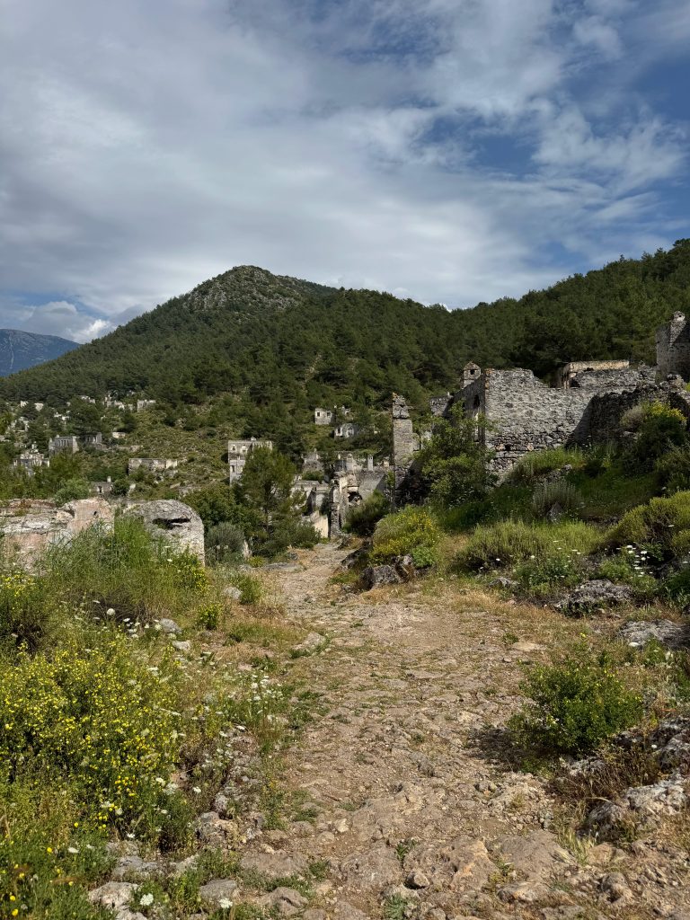
Roughly halfway through the hike, we reached the Kayaköy ruins. There is a small entrance fee, but the area is vast and well worth exploring. The trail itself passes directly through the site, entering on one side and leaving from the other. The abandoned stone buildings are both haunting and fascinating. I was told the settlement was once a thriving Greek town that was later abandoned following the Greco-Turkish War, when its Greek inhabitants were forced to leave.
After wandering through the ghost town, we continued along the path leading towards upper Ölüdeniz, where we had booked our accommodation. From Kayaköy, there are actually two possible routes to Ölüdeniz: one descending towards the seaside and another leading more directly into the town centre.
We stayed in a lovely place for the night, had dinner at a local restaurant, and stocked up on snacks and supplies for the days ahead. This was also the last town on our route where you can find a pharmacy and supermarket for groceries.
Ölüdeniz – Kabak
20 km

The next morning, we set off rather late after stopping at a local bakery for Turkish coffee, followed by Turkish tea and a selection of pastries. As we left town behind, we could already see the mountain we would be climbing that day looming ahead of us.
A little further out, we reached the official starting point of the Lycian Way, where groups of tourists were taking photos beside the large trail sign. From there, the path wasted no time and immediately began climbing steeply uphill. It was a demanding start to the day, but the views made every step worthwhile.
Extra motivation came in the form of handmade signs counting down the remaining distance to a fresh juice stand. Sweaty and exhausted, we finally reached it about two-thirds of the way up the climb. In a natural resting spot with magnificent views, a family had set up a small stall selling freshly squeezed orange juice, pomegranate juice, or a mix of both for 200 lira. After the long ascent, it tasted absolutely incredible.
After resting and cooling down, we continued onwards, but the weather suddenly began to change. Dark clouds rolled in, temperatures dropped, and rain soon followed. At exactly the right moment, a small house appeared around the corner, offering shelter from the storm.
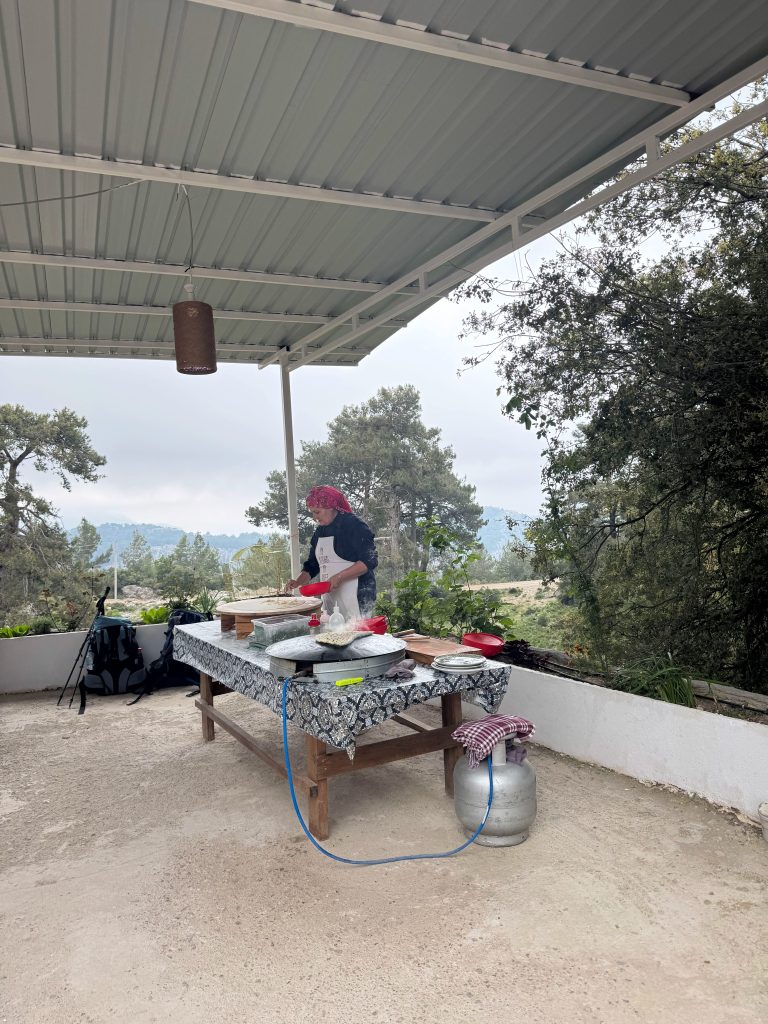
Inside, two women welcomed hikers in from the rain. One prepared endless glasses of tea, while the other cooked gözleme, a thin traditional flatbread filled with herbs and cheese, on a large traditional pan powered by portable gas. It was the perfect place to pause for a while, enjoy warm Turkish food, and wait for the rain to ease.
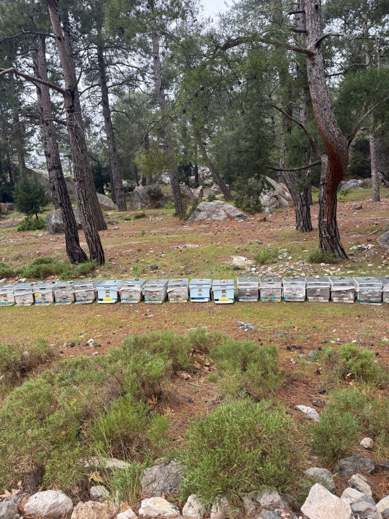
As we carried on, the showers came and went, but the shifting weather only made the landscape more dramatic and beautiful. The mountain range stretched endlessly into the distance beneath heavy clouds drifting across the horizon. At one point, the trail passed directly through rows of beehives, something we would encounter many times along the route. As we walked by, several beekeepers were busy harvesting honey.
Along the way we spotted more turtles, an ancient tomb, and information boards explaining the history of the Lycian Way itself. Eventually, we arrived in Kabak.
Because it was Saturday night and we had not booked in advance, all the budget accommodation was already full, so we ended up staying in a more expensive hotel. Fortunately, it came with stunning views over the beach and beautifully comfortable rooms.
By then, the weather had turned surprisingly cold, and we ended up using the air conditioning as a heater during the night. Earlier that day, when booking the room over the phone, we had also agreed to include dinner in the price, a decision that turned out to be an excellent one. The weather was miserable, and finding another place to eat would have been difficult, if not impossible.
As we would later learn several times along the trail, if your accommodation offers dinner for an extra charge, the smart answer is usually yes. Many of the smaller villages simply do not have restaurants or supermarkets, meaning the guesthouse is often your only option for an evening meal. Thankfully, those pre-booked dinners also tended to be some of the best food we had during the journey.
Kabak – Alınca
10 km

As the third day usually proves to be the most difficult, I had planned an easier one. It was meant to begin with a relaxing half-day on the beautiful Kabak Beach, followed by a 10 km climb back up to the small village of Alınca.
After struggling to find a place to stay in Kabak the previous day, we started the morning by asking our hosts if they knew of any accommodation in our next stop, Alınca. Once again, Turkish hospitality worked its magic, and after a few phone calls, they managed to book us a room.
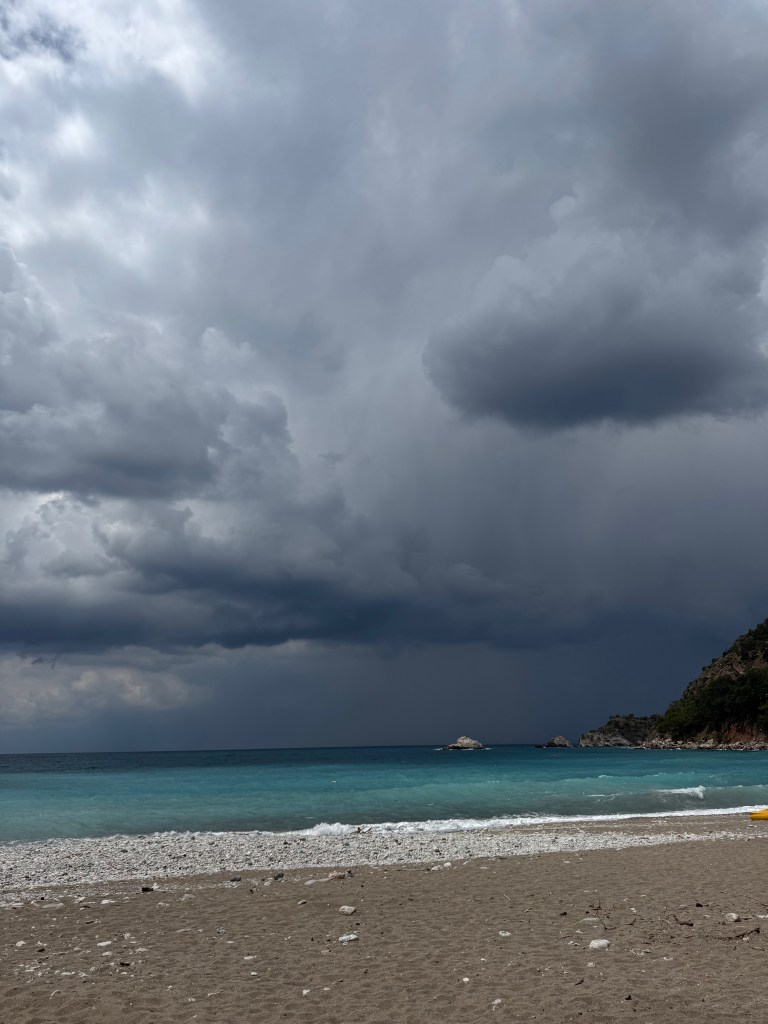
The weather had continued to worsen, and by the time we arrived at Kabak Beach, it felt as though the storm was only moments away. Dark clouds gathered on the horizon above the beautiful turquoise sea. Determined to step into the sea at least once during the trip despite the cold, we took off our shoes and dipped our feet into the water.
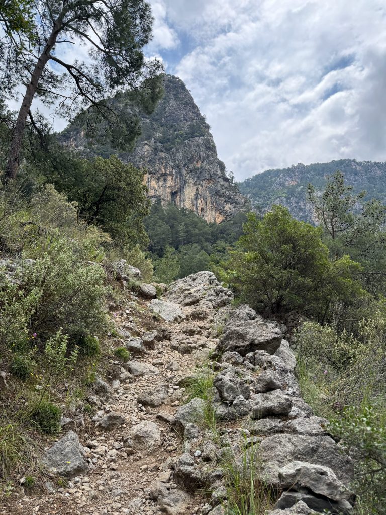
The clouds were approaching quickly, but with little choice, we continued along the path. The forest trail climbed relentlessly uphill, and just as we reached a small waterfall, the storm caught up with us and rain began pouring from the sky. Luckily, we found shelter beneath a huge rock large enough to protect us from the first downpour. After a while, we had no choice but to leave our safe spot and continue on our route.
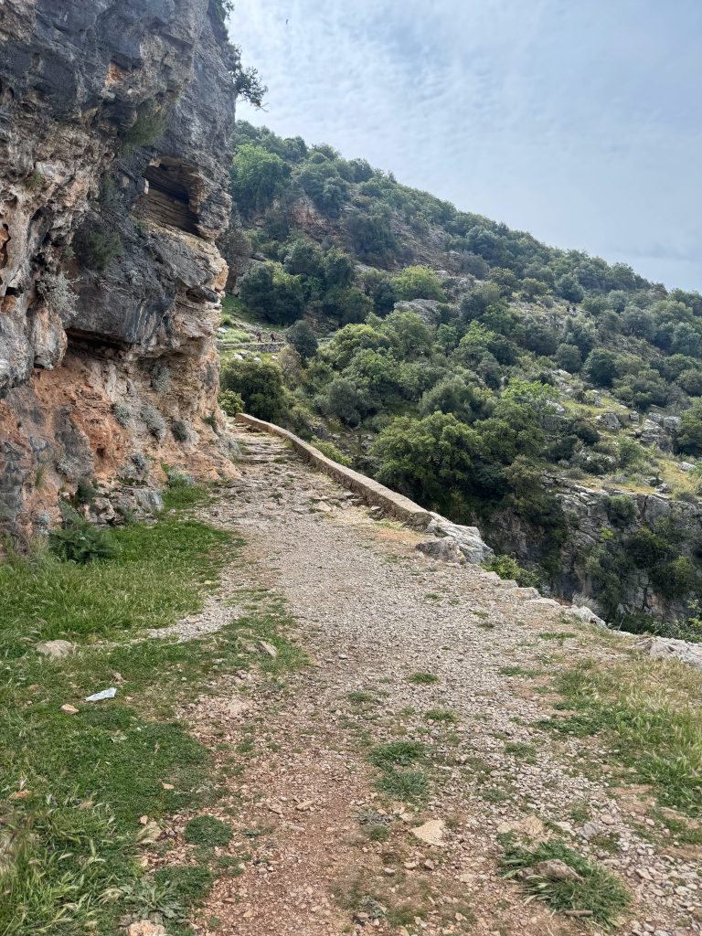
The trail was incredibly beautiful, with dramatic cliff edges and deep valleys, while the stormy weather made the landscape feel even more magical. It was probably my favourite part of the whole trail.
Completely soaked and freezing cold, we finally reached our accommodation, where we were immediately welcomed with hot tea. That evening, hail began to fall, and I watched it through the huge windows overlooking the valley and the sea while lying in bed under a warm blanket. It was not the warm beach day I had planned, but it was beautiful in an entirely different way.
Alınca – Bel
14 km
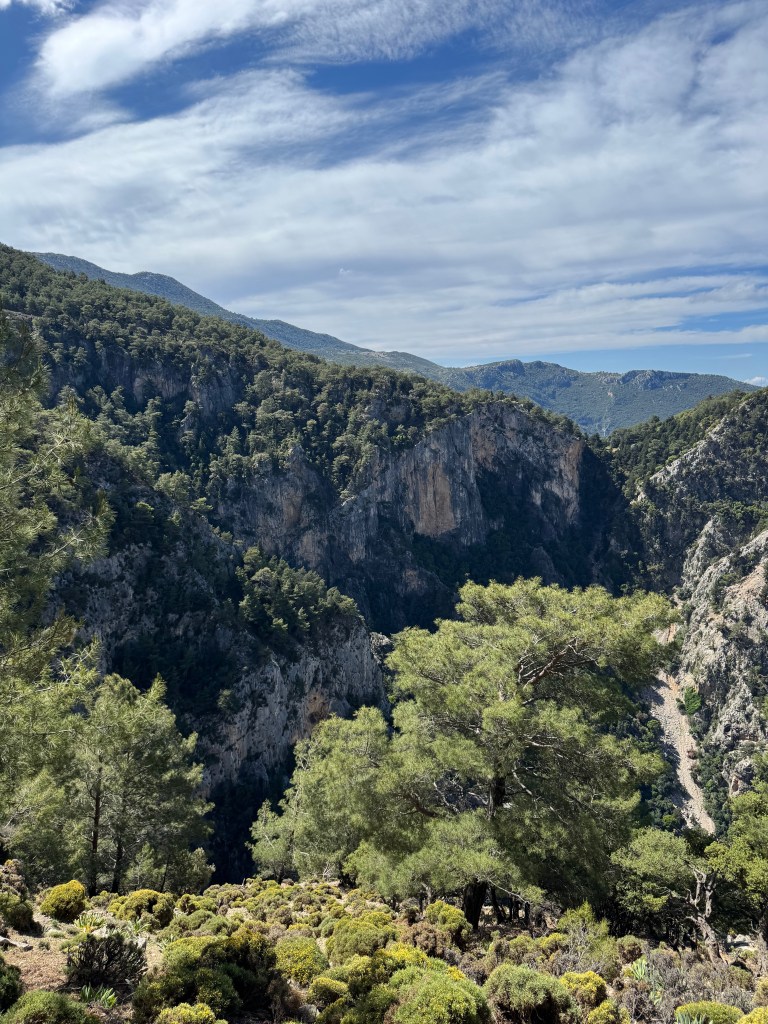
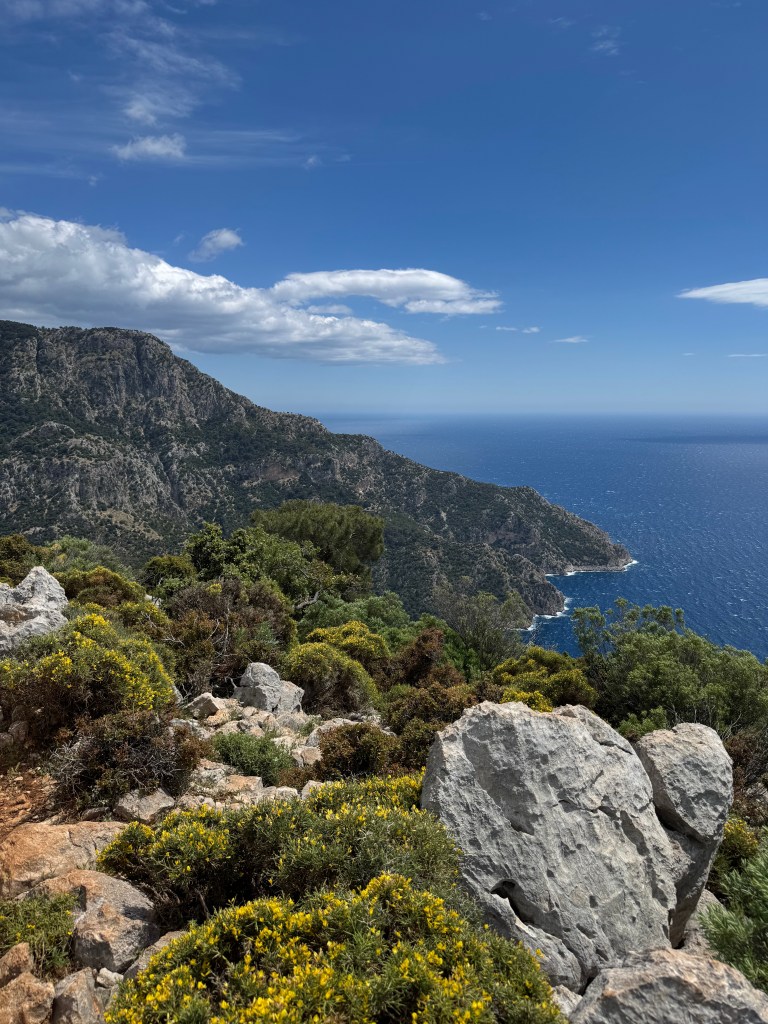
The next day greeted us with sunshine, and the route rewarded us with beautiful views of the turquoise waters below. Along the way, we passed a few designated resting points with self-service stalls, where water, soft drinks, and snacks were left out alongside a price list and a donation box. There were also many spots along the route designed for camping or simply stopping to rest.
Part of the route was flat and led through peaceful farmlands filled with blossoming flowers. It was beautiful to walk through olive groves, some with enormous olive trees that must have stood there for hundreds of years. The day felt defined by flowering fields and quiet pastures. As it was finally sunny and warm, we stopped around midday to sit in the sunshine and enjoy some freshly baked gözleme and tea.
When we arrived in Bel, a tiny village that seemed to consist of only a handful of houses, we were once again greeted with tea. That evening, we shared a lovely home-cooked dinner and breakfast the next day with the other guests who were also hiking the Lycian Way. It became one of the nicest evenings of the trip, spent exchanging hiking stories and observations about Turkish culture, all accompanied by an endless supply of tea.
Bel – Karadere beach
11 km


As it was our last day, we decided to plan an easier route that would finish at the beach.
After walking for a while, we were met with an unpleasant surprise when two huge dogs started chasing us as we crossed what was probably their territory. You could hear sheep nearby, so I assume the dogs were guarding a flock. Both were large and aggressive, one of them covered in old battle scars and growling intensely. A fellow hiker had to use their walking sticks and shout to keep them away while we kept moving. Eventually, they stopped following us, most likely once we had left their territory, but it was still a frightening and very unpleasant experience. Had I been walking alone at that moment, I am not sure how it would have ended, as it did feel genuinely threatening.
The rest of the path was a relentless downhill descent and, although I generally found the trail to be well marked, in this section it was easy to lose the route. We constantly had to check GPS and look for trail markers. Some parts were particularly challenging, with the path leading only across rocky terrain. As we had planned to finish at Karadere Beach, we eventually left the official Lycian Way for the last few kilometres, following car roads that took us even further down from the mountains.
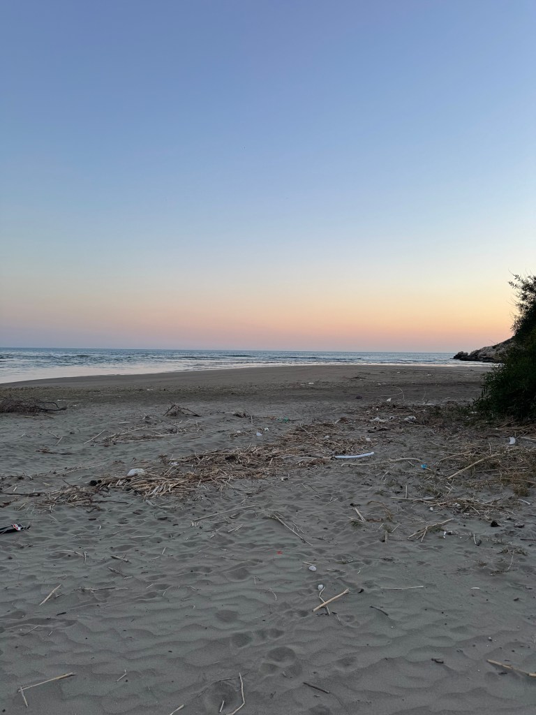
Karadere Beach was a long, beautiful, and wild stretch of sand, stunning, but with no amenities at all. With very few people there, it felt almost completely untouched, with wildlife and crabs wandering along the shore. The previous day, we had met a Turkish man who had completed the Lycian Way three times, and he told us that this beach has the best sunset on the entire route. As we watched the horizon turn deep red and the vast sea reflect the colours, I have to agree, the sunset was stunning. A perfect place to end the hike.
Other bits:
· There are very few opportunities to buy snacks or use shops beyond Ölüdeniz, so it’s worth planning and stocking up in advance. This is also the last place to find a pharmacy.
· It’s always a good idea to have dinner at your accommodation, as there may not be other options available nearby.
· Water is available intermittently along the route. We ended up carrying more than we needed, though this might be different in very hot weather.
· Tea is sometimes free and sometimes charged.
· I was surprised by how popular the route was. It didn’t feel overcrowded, but it was certainly busy; over those few days, we met many people from all over the world walking it.
· We experienced amazing hospitality throughout the route. As two women travelling, it felt like help was always close at hand. My mum left a jacket in one of the early towns, and we contacted our accommodation host. He found it, passed it to his barber, who lived near where we were staying that night, and the barber drove over in the middle of the night to return it to us before we moved on the next day.
· From our experience on the route, it’s worth trusting the advice of local people. Despite my usual scepticism towards travel advice from strangers, especially in the East, when they suggest the best place, route, or approach it generally is.
· The route is very well suited to camping. There are many appealing campsites along the way, both managed sites offering freshly cooked food and more wild spots suitable for pitching a tent. If I were to continue the route, I would definitely choose to camp.
 HIKE IT SOLO
Leave a comment